By Erik Brits
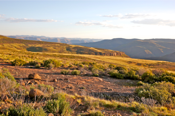
The Eastern Cape Highlands merits more attention for its spectacular mountain scenery. Here, from the comfort of your vehicle, you can enjoy mountain vistas that are often only accessible after a day’s hard walking on the KwaZulu Natal side of the Drakensberg. But with a sparse population and challenging topography, the road infrastructure can be hard on a vehicle. It is not really possible to make general comments about road conditions, as this is too dependent on recent rains and when last the roads have been graded. It is probably best to prepare for the worst, and be pleasantly surprised, than the other way round.
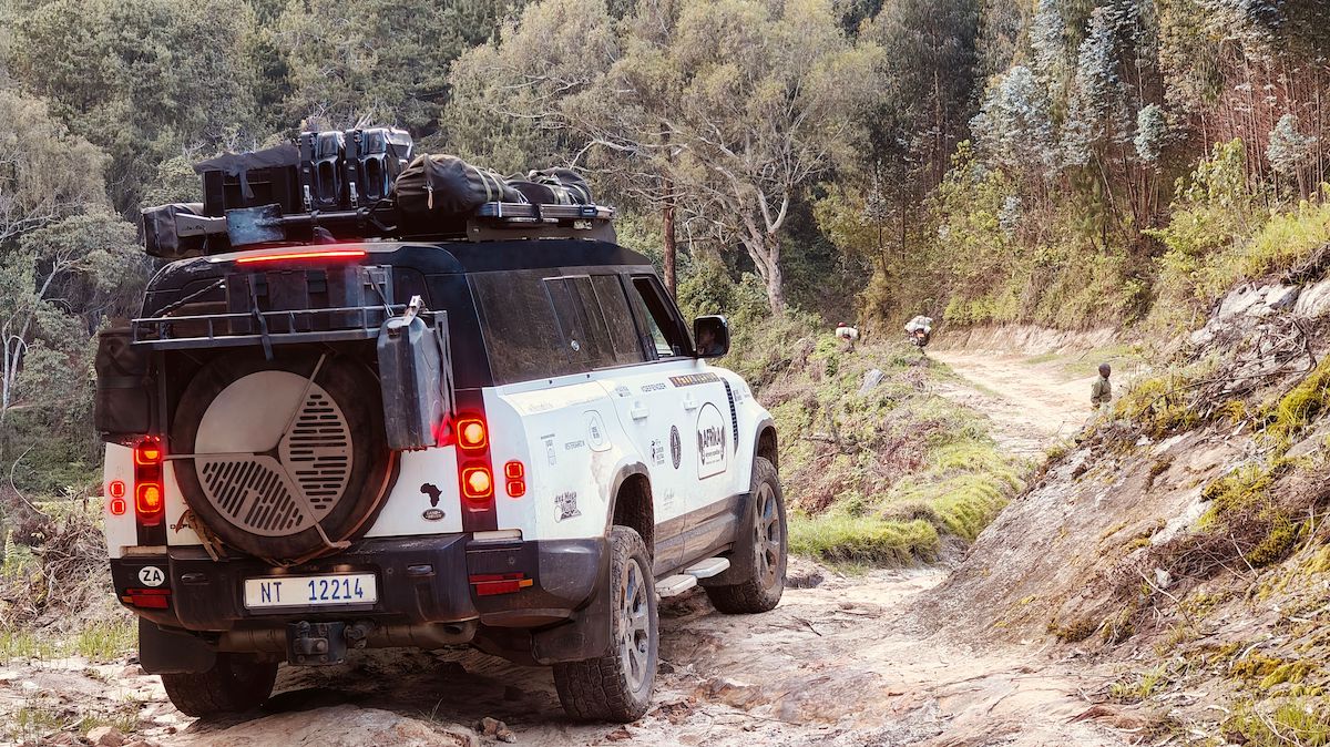
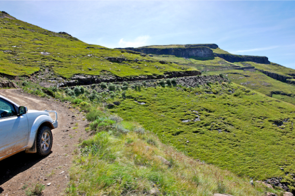
That said, in general these passes can be tackled in a regular 2×4 vehice, but high clearance is definitely required. The exception is the Baster Voetslaan Pad and the road from Mount Fletcher to the top of Naude’s Neck, for which a 4×4 is essential. Always ask the locals about road conditions, and heed their advice. If your vehicle is not up to the task, it is best to look at alternatives, of which the area is not in short supply.
JOUBERT’S PASS (LADY GREY TO WARTRAIL)
Most folks race down the stretch between Lady Grey and Barkly East on the splendidly tarred R58. However, those in the know will quietly turn off at Lady Grey and take the slow route over Joubert’s Pass. This pass is not as steep or challenging as the others in the area, but is no less rewarding a detour. It passes the town dam, which is a useful place to stretch your legs if you have been cooped up in a vehicle for some time, and then ascends the mountain through the beautiful Lammergeier conservancy. It you are on your way to the Wartrail district, this is the obvious way to go.
LUNDEAN’S NEK (WARTRAIL DISTRICT)
If you are staying in the Wartrail area, chances are you will do this as an out-and-back trip. So, pack a picnic lunch and make the most of your day. The road kicks off at the Wartrail sports club and runs through placid pastoral landscape until it reaches a police station. The location of this police station seems more than a little perplexing, but the penny drops once you are aware of the extent of cattle theft and cannabis smuggling that goes on in this neck of the woods, and it is a centuries old “tradition”, dating back to the time of the great chief Moshesh. If you are planning to do this trip as an out-and-back, be sure to crest the neck, with its panoramic views of the Maloti Mountains, and follow the course of the river for at least some distance. Some of the most beautiful countryside lies hidden in this remote valley.
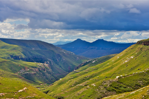
VOLUNTEERSHOEK ROAD / BIDSTONE PASS (WARTRAIL DISTRICT TO TIFFENDELL)
At the Wartrail sports club, you would have taken the left fork in the road to visit Lundean’s Neck. Now, follow the right fork along the Volunteershoek road and up the Bidstone pass to Tiffindell. The view from the top must be one of the finest in the district as your eye caresses mile upon mile of peaks until they disappear into a blue haze on the most distant horizon. The valley floor is lined with poplars, and in late March they herald the first whispers of an approaching autumn when the leaves start turning yellow as in a pointillist painting. Within a few short weeks these poplars will stand ablaze in full deep yellow – a definite sign that it is time to stock up on firewood and turn on the electric blankets. From the top of the pass the road runs for another ten odd kilometres along the high plateau until you get to Tiffindell. Definitely time for a coffee stop.
CARLISLESHOEK PASS (TIFFENDELL TO RHODES)
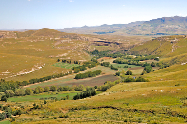
Tiffindell is South Africa’s only ski resort. During winter, lying at around 2750m, Tiffindell provides an excellent setup for learning to ski, and even a bit of entertainment for more experienced skiers. During summer, the challenging road lures bikers of both the motorised and non-motorised varieties, and the peaks are a hiker’s playground. The fishing in the local lake, Loch Ness, isn’t too shabby either. The road almost immediately drops into a series of stiff descents – some steep enough that they been paved with cement strips. Signs along the way advise that right of way should be given to ascending traffic, although it’s best to hope for no traffic at all! With the descent behind you, the road gently winds its way through pastoral farming landscape. After a while it crosses the Bell River, from where it is a short drive to the town or Rhodes.
NAUDE’S NEK (RHODES TO MACLEAR)
Of all the passes in the area, Naude’s Neck is arguably the one that is most often underestimated. This road is so remote that for many years a public telephone was maintained at its summit, but with the advent of mobile technology it has fallen into disrepair. The number of travellers who have had to be given emergency shelter by Jean-Marie Naude at Vrederus could fill a book. On one memorable instance, with a full house, full cottages and a full barn, the last “desperadoes” had to make do with her daughter’s doll-house (a small zozo hut), and spent the night sleeping with their legs sticking out the door. Don’t make the mistake of working on an hour and a half for the 60km. It is more likely to take you four or five hours to complete. Most people travelling this pass do so between the towns of Rhodes and Maclear, but it is worth considering the less travelled alternative via Mount Fletcher, where the road follows the course of the Luzi river as it cascades it way down the mountain. Rough road, but beautiful scenery.
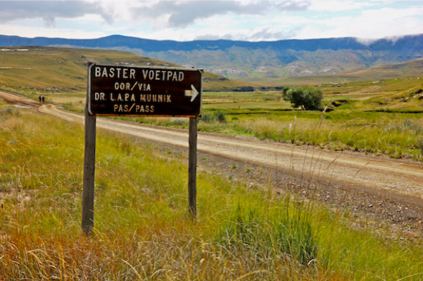
BASTERVOETPAD (UGIE TO ELLIOTT)
Whereas all the other passes in this suggested journey are really no more than poor and / or steep roads through beautiful countryside, the Bastervoetpad actually requires some technical expertise and a reasonably capable off-road vehicle. It is also advisable to consider conditions on the day, and perhaps avoid the pass in wet and slippery conditions. As with the rest of this area, the Bastervoetpad is becoming increasingly popular with bikers, although with this pass in particular, you have to know your stuff. At the mid-point you are at least two hours from the nearest help, and misfortune here can be really troublesome.
BARKLY PASS (ELLIOTT TO BARKLY EAST)
Barkly Pass does not really fit the theme of the rest of the passes in this journey. It lies on the tarred R58 that connects Barkley East to Elliot and carries the bulk of the area’s commercial traffic. That said, the last time we drove down the pass, we had to make way for two large Hereford bulls that were being walked down the pass. So, not exactly the N1, then. But still primarily a means of getting from point A to point B.
OTTO DU PLESSIS – (ELLIOTT TO BARKLY EAST)
The Otto du Plessis Pass is not a natural connection between any two tourist destinations and therefore a little less travelled than some of the other passes in the area. But if time allows, it is worth the time and effort to take this long way around. Make a day of it and revel in “forever” vistas at the top, or just the general solitude of the area.
ROUTE
Lady Grey – Wartrail Disrict – Tiffendell Ski Resort – Rhodes – Maclear – Ugie – Elliott.
PASSES
Joubert’s Pass – Lundean’s Neck – Volunteerhoek Road – Carlisle Hoek Pass – Naude’s Neck – Baster Voetslaanpad – Barkly Pass – Otto du Plessis Pass