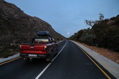
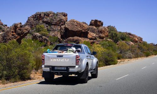
Isuzu has launched an exciting and much need interface for the South African market. Using a kitted out sixth generation Isuzu KB, they are mapping local 4×4 trails so that users can, much like in Google’s streetview, preview the roads they’re intending on taking. Trail information in South Africa is lacking in the digital space, and the Trailview project bridges this gap to allow off-roaders the opportunity to browse routes ahead of their trip. Trails mapped so far include Hennops, Moolmanshoek’s Visierskerf and Langesnek, De Wildt and Berakah Eco Trail (the latter will be available soon).
The KB is fitted with a 360 degree camera and the interface allows for comments and photos to be added to the trail, much like modern, live-traffic applications.
With each corner, descent, rocky climb or muddy ditch mapped out in high-resolution imagery, drivers can see what they’re in for, build confidence in seeing that their vehicle can handle even the toughest obstacles and up the excitement in the process.
Go to www.isuzutrailview.co.za to try it out.