Land Rover now offers cross-border navigation in its latest Discovery with the inclusion of Tracks4Africa as standard equipment.
Land Rover and Jaguar drivers are the first to benefit from integrated satellite navigation with extensive maps across 22 sub-Saharan African countries. The first-to-market benefit makes exploring Africa that much simpler and more convenient for intrepid adventurers, reducing travel time, minimising distances and increasing safety – even when travelling to the most remote destinations on the continent.
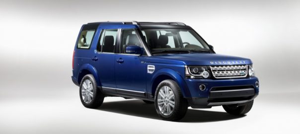
Jaguar Land Rover South Africa’s Extended Navigation – introduced first on the Model Year 2014 Land Rover Discovery introduced early in March – represents an industry first as a factory-fitted integrated system, combining the latest generation of Tracks4Africa with a sophisticated on-board unit using the acclaimed iGo primo platform and hardware that allows for SD card software and map updates. The result is the very best of satellite navigation whether you’re travelling on dirt or on tar.
Tracks4Africa is a suite of 16 maps of rural areas, with impressive detail, much of its content being user-driven and based on actual driving experiences on the continent. It represents data compiled over more than a decade by thousands of serious overland adventurers who have recorded their route on a GPS device. Their experiences – checked and validated against those of other users who have driven the same route – are verified before being loaded onto the system.
In this way Tracks4Africa provides access to a network of around 720 000km of ‘navigable’ roads in Africa. This represents 90 percent of the roads ever travelled by self-drive tourists in Africa, cataloguing thousands of points of interest along the way.
For example, in Angola it maps nearly 20 000 roads and tracks, and details more than 2 500 points of interest.
For the urban environment, the mapping software of choice is Nokia HERE, which gives comprehensive coverage of over 100 cities in sub-Sahara Africa. Users simply change from the rural to the urban environment at the touch of a ‘button’ on the TFT (thin-film transistor) screen of their Jaguar or Land Rover, with features like lane guidance and historical traffic information (depending on the market) enabling users to find their hotel or the airport with minimal delay and inconvenience.
Rolling out from 14MY onwards – and in the case of F-TYPE from the introduction of Coupe onwards – Extended Navigation is standard on all Jaguar cars and Land Rover vehicles fitted with satellite navigation systems, with the exception of the Land Rover Defender and Jaguar XK.
“Being adventurous is one thing, getting lost in the middle of nowhere is another matter entirely,” says Kevin Flynn, Managing Director of Jaguar Land Rover South Africa and sub-Sahara Africa. “With Extended Navigation large parts of Africa become your oyster, adding yet another dimension to our brands – vehicles which continue to innovate and set the benchmark in their segments. For serious adventures, the availability of Extended Navigation in the likes of Discovery will give overland travel a whole new dimension.”
As well as South Africa, the Tracks4Africa/Nokia HERE combination embraces Angola, Botswana, Lesotho, Malawi, Mozambique, Namibia, Swaziland, Zambia and Zimbabwe. Venturing further North, the same level of coverage is available in Burundi, Kenya, Rwanda, Tanzania and Uganda, with coverage of urban areas in countries like Benin, Ghana, Senegal, Togo, Mali, Niger and Nigeria.