Satellite navigation units have made it far easier to find those out-of-the-way places. And for the most part, this is a positive thing, but what effect does it have on the environment? This month, Johan Badenhorst asks if GPS units perhaps offer too much information.
While on expedition in 2009, we travelled through Damaraland. There were five Namibians in the group. They were experienced off-road travellers who knew the region very well. However, when I asked them if they had ever visited the Fountain of Gai-as, they all admitted that they hadn’t.
Gai-as is one of the most amazing places in Damaraland. Few places on earth can match the serenity and natural beauty of Damaraland, but Gai-as is extra special.
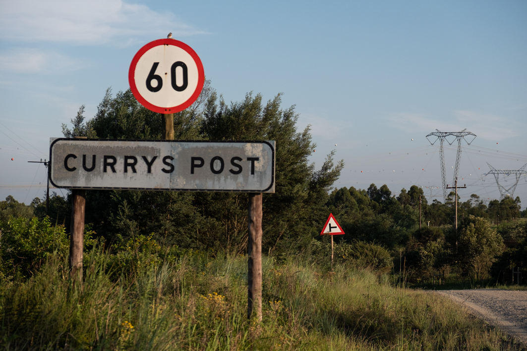
I entered Gai-as into my Garmin navigation unit, which was loaded with the latest Tracks4Africa maps, and we set off. The road to Gai-as was a little twee spoor in every sense of the term. One could hardly call it a road, yet the navigation software had no problem leading us to its exact location. All we needed to do was follow the instructions.
I had been to Gai-as 20 years earlier. At the time, I was travelling with Pieter Pieterse and his wife, Jenny, who knew the area.
We left Rhino Camp in the Ugap Valley and followed the Pieterse’s careful handwritten notes until we eventually reached our destination.
Gai-as is in the middle of the rock desert of Damaraland. Close to the fountain there are rock piles that are the remains of the dwellings of the original inhabitants — probably the Khoi. Gai-as has life-giving water, which not only attracted people but game as well, so this was an ideal hunting spot.
Up on the hill at the fountain, a more recent structure is to be found. This, apparently, was built for the mounted police service of German West Africa. Gai-as was a stopover for these men and their camels on their patrols through the desert.
Gai-as used to be extremely difficult to find, and that was what made it so charming. There was real satisfaction in managing to locate it. Every visit turned out to be a journey of discovery. That is why the place got to be known as the Secret Fountain of Gai-as.
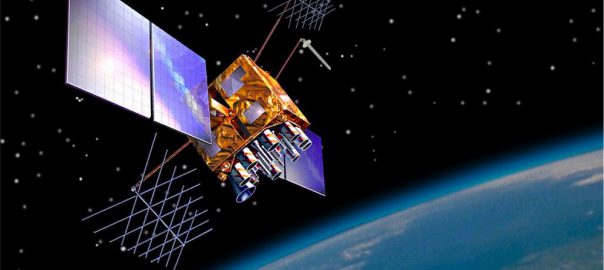
Secret the place is no more. One can sit in the luxury of your home in Pretoria, Bloemfontein or Cape Town, and simply punch in the name, Gai-as, under the heading, “Points of Interest”, and have Garmin and Tracks4Africa show you the exact route. The estimated travelling time from your location is even given!
Of course, this technology has changed the nature of travelling substantially. Not only is travelling now far safer and simpler, but it is also easier to now locate those hard-to-find destinations. Is this a good thing, though?
The fountain at Gai-as is the only spot in the region where animals, including desert lions and black rhinos, can stop for a drink. This means that if travellers camp next to the fountain, these poor animals can’t reach their water source, so one would think that the sudden accessibility of the place is a problem.
Are navigation units placing these animals in peril by allowing tourists to find the fountain? Perhaps not. When I visited the place with Pieter Pieterse in 1990, we camped far away from Gai-as because Pieter knew the region well and understood that animals needed access to the place. Had he not known this, we might have camped right next to it. When we visited Gai-as in 2009, our GPS unit displayed a notification next to the location stating “do not camp here”. So, yes, new satellite navigation technology shows people how to reach little-known destinations, but it also plays an important role in educating travellers. Provided, of course, people are prepared to listen to the advice that these gadgets offer.