Global positioning system (GPS) units are getting smarter by the day, with fancy maps and 3D displays and whatnot. However, one of the best features of all is live traffic reports, where the system checks for prevailing road conditions and can reroute you around problem areas, or traffic jams. We find out how these systems work.
Ain’t noboday got time for traffic
Earlier this year, TomTom released its annual Traffic Index report and once again, Cape Town was named the most congested city in South Africa. Johannesburg ended up in second place, East London in third.
The average Capetonian will spend around 152 extra hours a year behind the wheel because of congestion. Jozi inhabitants aren’t far behind, spending an additional 134 hours per year stuck in traffic.
As Kimberly ‘Sweet Brown’ Wilkins famously said; “Ain’t nobody got time for that”. We’d much rather spend our downtime at home than despondently staring at the bald patch of the guy driving in front of us for hours on end.
That’s why all of us need navigation with live traffic updates. One simply enters the final destination into the navigation system and it finds the least congested route home.
How does it work? Well, it’s not someone with binoculars standing on a rooftop, checking the road ahead. The reality is a little more technical, but not as complex as you might think.
To understand the live traffic update feature, we first need to look at how a navigation system works and how these things have developed over the years.
Origins of navigation
Unsurprisingly, the GPS was designed and developed by the US military, for obvious reasons.
The GPS network consists of around 40 satellites orbiting the earth and millions of navigation systems that can receive signals from said satellites.
Using a minimum of three satellites and a method called trilateration, your navigation system can figure out where you are. The more satellites it uses, the more accurate it will be.
Once it finds out where you are, it will use the maps stored on the device to work out the best possible route within the parameters (avoid toll roads, highways, etc) set by its owner. These maps used to be stored on CDs and DVDs, but these days the humble SD card is preferred.
For the record, satellite navigation is not a German invention. Given its advanced nature, one could be excused for thinking that it made its debut in the S-Class, but it was actually Toyota that started with in-car navigation in the early 80s.
Mazda, however, was the first manufacturer to offer built-in navigation on its early 90s Cosmo. That predates the LCD screen with touchscreen interface, so you can only imagine how tricky it must have been to set the destination and follow the map.
The humble traffic report
For years now, car radios have come standard with a ‘traffic report’ feature. The radio will scan all stations for traffic reports and will divert you once it finds a traffic report.
It’s a good idea, but it doesn’t work for two important reasons; it’s a bit annoying when something interrupts you halfway through one of your favourite songs, and, more often than not, there’s little you can do with the information.
But then someone realised that this information can be used to greater effect. The navigation unit knows where you are, where the scene of the accident or delay is and, most important of all, what routes it can use to go around the problem.
The traffic report method has one major flaw, however. Radio stations simply don’t have enough time to report on every single delay in a city as big as Johannesburg, so reports are often limited to the three or four major issues of the day. Considering that South Africans have an annoying habit of driving into each other, there is simply not enough time to cover the major incidents, let alone the minor shunts and robot failures.
Live traffic
As a navigation unit is, in essence, a transmitter, it can receive information from the satellite as well. It already has its current location, speed of travel and intended route to the set destination.
Once it receives a live traffic report, it can check whether its current route is involved in any way. If it is, it will use its pre-programmed map to find an alternative route. Most navigation systems won’t update the route automatically, preferring to inform the driver that something is in the way and that there is an alternative.
Where this information comes from is a lot more interesting.
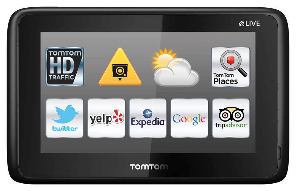
Garmin uses traffic flow data from more than two billion observation points every month, including Garmin devices, cellphones, incident reports, radio feeds, news stations, historical traffic data and actual fixed sensors on heavily congested routes.
According to Garmin, Live Traffic is updated every two minutes with around 1 000 messages coming through each and every update cycle.
The most interesting way Live Traffic data is received, is from the navigation system itself. It’s simplistic elegance at its best.
If around 1 000 vehicles per hour use the N1 between Johannesburg and Pretoria, and 50 of those vehicles are fitted with a Garmin, TomTom, Google Maps, Waze, or any other kind of navigation system, you have what you need to draw conclusions from driving patters. If all 50 cars, for example, stopped within 100 metres of the same point and progressed onward at a drastically reduced speed, it’s safe to assume that something is obstructing the traffic flow.
Naysayers will undoubtedly point out that the alternative route will take almost as much time as simply soldiering through the congestion and to a certain extent, they may be right.
In our humble opinion, it makes a lot of sense. It may take the same amount of time to just sit there, but it feels a lot faster to keep moving. Live Traffic is worth it for the sheer amount of frustration it’s going to save you.
These systems also aim to spread traffic as much as possible in the hopes of helping those who don’t have it. If 100 people were heading down the same route and 30 of those people were diverted to a different route, the remaining 70 will spend less time trying to pass through the congested sections.
Available to everyone
The best thing about live traffic is that it’s now available to everyone.
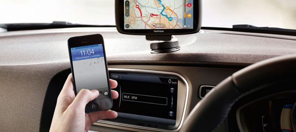
In addition to OEM and aftermarket navigation systems, one can now download either Google Maps or Waze onto a smartphone, free of charge.
Both these systems feature live traffic updates and they work just as well, if not better, than any navigation system. If you stay on tar, that is.
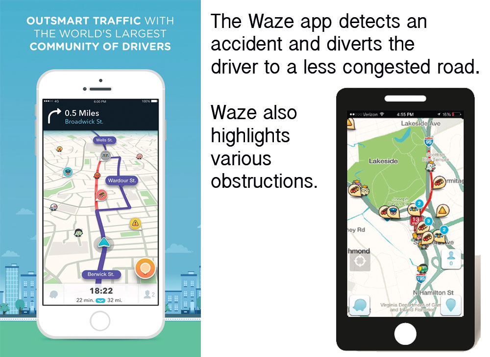
Waze is particularly interesting, because it relies on community updates and it’s constantly trying to find a better route. You can also tell it when and where you’ll be driving and it will even let you know whether you need to leave earlier than you intended due to severe congestion.
These apps can also give you step-by-step instructions via the car’s sound system, thanks to Bluetooth connectivity. Even the cheapest 4×4, SUVs and bakkies are equipped with this feature as standard.
A word of caution, however: Google Maps and Waze chew data, so make sure you have enough data available and won’t end up with a hefty bill before you start using these apps on a daily basis.
Text: Gerhard Horn